Tag Archives: Greg Asner

Mongabay: COP21 — New satellite imaging tracks REDD+ deforestation tree-by-tree

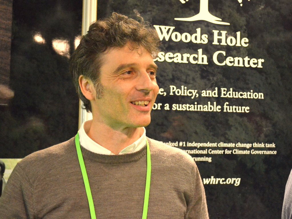
Alessandro Baccini with Woods Hole Research Center Photo by Justin Catanoso

Alessandro Baccini with Woods Hole Research Center Photo by Justin Catanoso

Here’s the summary of mongabay.com story on a significant advancement in making the policy REDD+ work as a tool between countries to keep critical tropical forests intact. Much credit goes to remote sensing scientist Alessandro Baccini at Woods Hole Research Center.

  • Critics have long argued that the inability of satellites to track deforestation with precision created a loophole that could allow tropical countries to cheat regarding their annual deforestation rates.
  • Past satellite imaging systems could not resolve objects smaller than 500 meters (1,640 feet) across. A new system developed by Alessandro Baccini and his Woods Hole, Massachusetts, research team can see objects just 30 meters (98 feet) across.
  • Satellite imaging, combined with imaging from airplanes, along with ground-truthing will help make observation of tropical deforestation rates and carbon offsets far more precise in real time, preventing cheating and under reporting.

Much Maligned REDD+ Gets a Boost from Above for Climate Mitigation

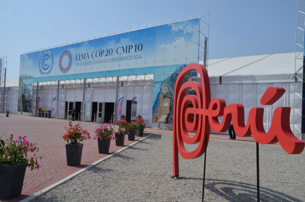
Entrance to the UN Climate Summit in Lima, Peru -- Dec. 1-12, 2

Entrance to the UN Climate Summit in Lima, Peru — Dec. 1-12, 2014. Photo by Justin Catanoso

As the United Nations climate negotiations in Lima, Peru, entered their second and final week, some progress – and thus some optimism — was claimed late Monday, Dec. 8. They were small steps. And because huge leaps seem impossible in grappling with this global crisis, even small steps take on growing importance. A big reason for the optimism is the incredible advances in scientific monitoring of carbon stocks and greenhouse gas emissions that simply didn’t exist a few years ago. It’s giving countries confidence to engage in this process. I explain why in this story on National Georgraphic online.

Peru’s first-ever high-resolution carbon map could help the world breathe easier

To put an accurate price on carbon, you need to know how much you have and where it’s located, researchers say. Stanford University scientists have produced the first-ever high-resolution carbon geography of Peru, a country whose tropical forests are among the world’s most vital in terms of mitigating the global impact of climate change. Click here for the whole story at National Geographic NewsWatch.

Photo courtesy Greg Asner