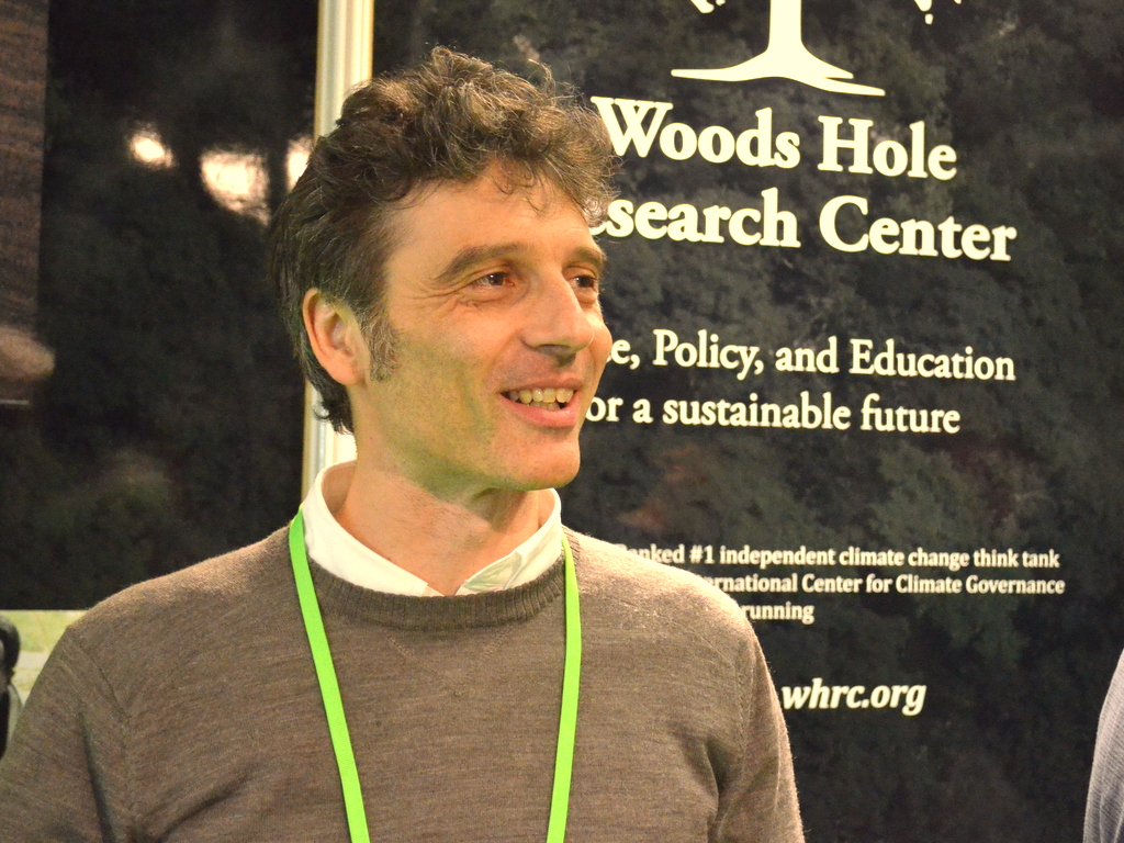
Here’s the summary of mongabay.com story on a significant advancement in making the policy REDD+ work as a tool between countries to keep critical tropical forests intact. Much credit goes to remote sensing scientist Alessandro Baccini at Woods Hole Research Center.
- Critics have long argued that the inability of satellites to track deforestation with precision created a loophole that could allow tropical countries to cheat regarding their annual deforestation rates.
- Past satellite imaging systems could not resolve objects smaller than 500 meters (1,640 feet) across. A new system developed by Alessandro Baccini and his Woods Hole, Massachusetts, research team can see objects just 30 meters (98 feet) across.
- Satellite imaging, combined with imaging from airplanes, along with ground-truthing will help make observation of tropical deforestation rates and carbon offsets far more precise in real time, preventing cheating and under reporting.

