Forest ecologist Dominick DellaSala of Wild-Heritage in Oregon has been eager to produce high-quality, verifiable maps of remaining intact, mature and old-growth forests across the continental United States. He and I have been discussing the potential for such mapping to help create what he and colleague Bev Law of Oregon State call a Strategic Carbon Reserve, akin the the Strategic Petroleum Reserve that presidents call upon when gas prices spike or OPEC suppliers manipulate global oil supplies.
The carbon reserve would act as a protected carbon sink in the US that would remain intact, biodiverse and capable of continuing — and even expanding over time — its capacity to sequester greenhouse gases to help slow the rate of global warming. This story here describes the outcome of a new study (October 2022) in which DellaSala teamed with a group of forest ecologists to produce the first ever coast-to-coast mapping of such valuable, vulnerable forests.
President Biden in April 2022 requested similar mapping from his departments of Interior and Agriculture for the purpose to protecting more forests on federal land to help him meet his Paris Agreement GHG-reduction goals by 2030. DellaSala’s study will serve as a baseline comparison in April 2023 when the federal maps are due to make sure timber interests and forestry corporations don’t pressure the U.S. agencies to produce maps more favorable to logging than conservation.

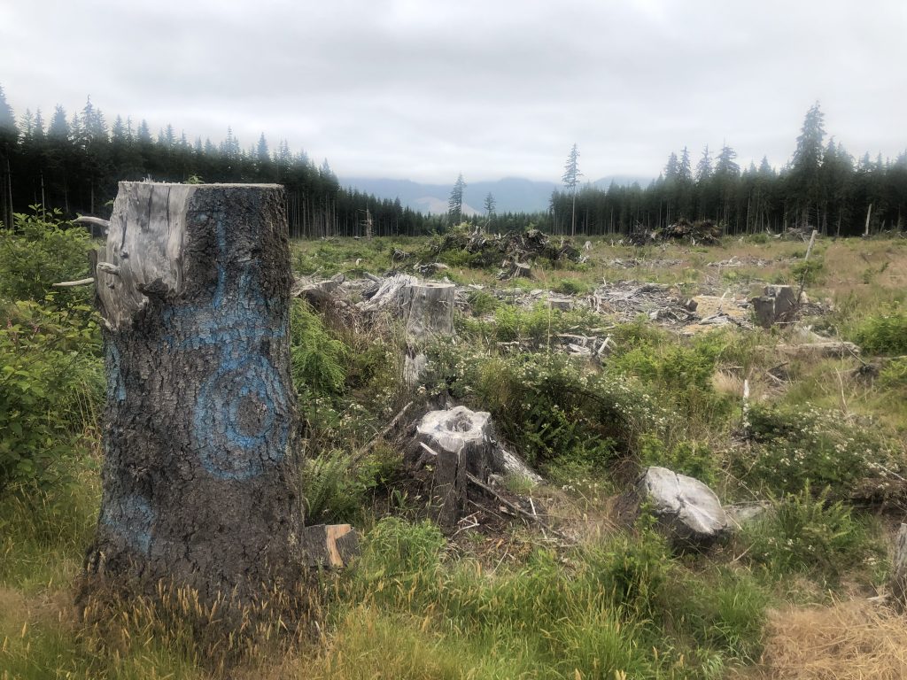
An expanse of legally clearcut forest in northwest Washington state. While national park forests are fully protected, just 24% of U.S. Forest Service and Bureau of Land Management forests are fully protected, with the rest at various levels of risk. I took this photo just outside fully protected Olympic National Park in July 2022.
